Measuring the ocean where fishing happens
- Adaptation story
- Tasmania
When a marine heatwave develops, knowing that the ocean is unusually warm is only part of the picture.
Satellite observations and ocean models provide valuable information about sea surface temperatures across large areas. But conditions at the surface do not always reflect what is happening below it. For fishers and aquaculture operators, this matters. Fishing gear, farm infrastructure and marine animals are operating below the surface, where temperatures may differ from those recorded by satellites.
A 2024 Tasmanian project set out to fill some of this information gap by measuring ocean temperatures at the depths and locations where the seafood industry actually operates. The FRDC-funded project, led by the Institute for Marine and Antarctic Studies (IMAS), developed a framework for collecting fine-scale temperature information during marine heatwaves.
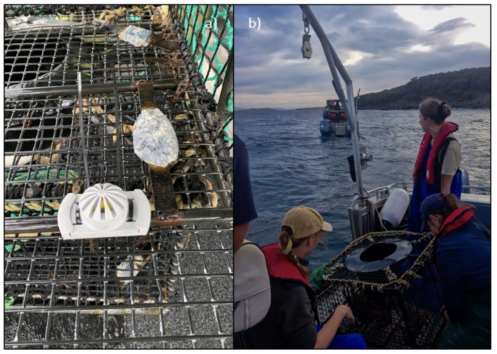
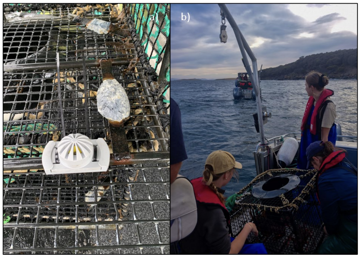
Between February and May 2024, researchers worked with commercial fishers to deploy small temperature loggers on fishing gear used by the Southern Rock Lobster, octopus and scalefish fisheries. Loggers were also placed in holding wells on fishing vessels.
This allowed the project to collect temperature measurements from the water column as fishing gear was deployed, rather than relying solely on broad-scale measurements of sea surface temperature and was deliberately designed around the way the industry operates.
Instead of asking where a scientific instrument could be deployed most conveniently, the project used commercial fishing operations to collect information from places and depths that were directly relevant to fishers.
The data provided a more detailed picture of how temperatures varied through the water column and across fishing locations.
Participating fishers received summaries of the temperatures recorded during their fishing operations. These included temperature profiles, comparisons with seasonal averages and information showing where observations sat in relation to marine heatwave thresholds.
The data collected during the 2024 pilot is therefore more than a record of one marine heatwave. It provides a framework for building longer-term datasets that can help researchers, government and industry understand how marine heatwaves affect different parts of Tasmania’s seafood sector.
As marine heatwaves become an increasingly important feature of Australia’s changing ocean climate, combining these different sources of information can help the seafood sector move from knowing that a heatwave is occurring to understanding where, when and at what depth it is affecting their operations.
Related: Tasmania’s Marine Heatwave Response Plan identifies targeted temperature monitoring by IMAS and industry as part of Tasmania’s approach to monitoring and responding to marine heatwaves.