Finding tuna in an increasingly unpredictable ocean
- Adaptation story
- South Australia
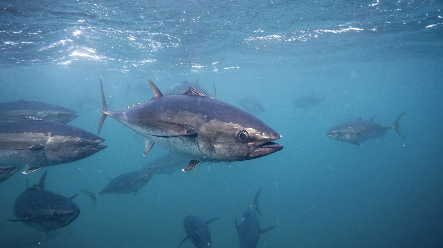
For Southern Bluefin Tuna fishers, finding fish can mean travelling hundreds of kilometres across the Great Australian Bight. This is because tuna are not always found in the same place, so fishing vessels can spend valuable time and fuel searching for fish. Over time, the industry has learnt the patterns and variation in tuna movement, allowing for streamlining of operations and cost saving.
However, climate change is creating a challenge for tuna fishers. Due to changing ocean conditions, the environmental cues that fishers have traditionally relied on are becoming less reliable. Southern Bluefin Tuna traditionally followed relatively predictable seasonal patterns in the Great Australian Bight, but changes in ocean conditions have altered where tuna are found, with fish becoming more widely distributed and occurring further east than in the past.
Research published in 2015 found that these changes were already affecting when and where fishing operations took place, creating economic challenges for the fishery. Because vessels and tow pontoons cannot rapidly relocate, being able to anticipate where suitable tuna habitat is likely to occur can be particularly valuable.
In response, researchers from CSIRO and the Bureau of Meteorology worked with the Australian Southern Bluefin Tuna Industry Association to develop a seasonal forecasting system.
The system combines the Bureau of Meteorology’s seasonal ocean forecasts with a habitat model developed using data from tagged tuna. The result is a map showing where conditions were most likely to provide suitable habitat for Southern Bluefin Tuna in the months ahead.
The habitat models also incorporate differences between age groups. This is particularly relevant to the Southern Bluefin Tuna fishery because younger fish are targeted for transfer to farming operations. The resulting maps give fishers an indication of where preferred tuna habitat is likely to occur, helping them plan operations before heading out onto the water.
Analysis of how the forecasting system has been used found that forecasts of slow or delayed warming in the Great Australian Bight in the 2017 and 2019 fishing seasons contributed to companies choosing to delay fishing operations rather than sending boats and pontoons out prematurely.
This illustrates an important role for ocean data and climate information in fisheries adaptation. It gives fishers another source of information to weigh alongside their experience, observations and other operational considerations.
The Southern Bluefin Tuna forecasting system is an example of climate adaptation that works with the realities of a commercial fishery. As climate change continues to alter ocean temperatures and the distribution of marine species, adaptation is not necessarily about predicting exactly what the ocean will look like decades from now but can also involve developing practical ways to make better decisions as conditions change over the coming weeks and months.
What can other fisheries learn?
The Southern Bluefin Tuna example highlights several elements that can make climate information useful for fisheries:
- Combine climate information with biological information. Temperature forecasts become more useful when they are linked to knowledge about how fish respond to environmental conditions.
- Design information around real decisions. The forecasts were developed with industry to address practical questions about when and where to operate.
- Use forecasts to manage risk, not eliminate uncertainty. Forecasts provide another piece of evidence for decision-making rather than a guarantee of where fish will be.
- Keep updating the system. New tagging data and improved climate models have been incorporated as they became available, helping keep the forecasts relevant as conditions and fish behaviour change.
For the Southern Bluefin Tuna sector, forecasting is one way of adapting to a fundamental challenge of climate change, the ocean is changing, and the places where fish have traditionally been found cannot always be relied upon to stay the same.

Related research and resources
The forecasting system was originally developed through FRDC Project 2012/239, followed by the project that updated the habitat and forecasting models, FRDC Project 2018/194. The current CSIRO forecasting website provides access to observed conditions, seasonal sea surface temperature forecasts and Southern Bluefin Tuna habitat forecasts.
Read the original FRDC story: Knowing where to fish: tracking tuna with the latest climate and habitat models
Read the original research: Seasonal forecasting of tuna habitat in the Great Australian Bight, Fisheries Research (2015).
Explore the Southern Bluefin Tuna habitat forecasts: CSIRO – Forecasting Southern Bluefin Tuna Habitat in the Great Australian Bight